

Photogrammetry and Mapping Drones: What You Need to Know
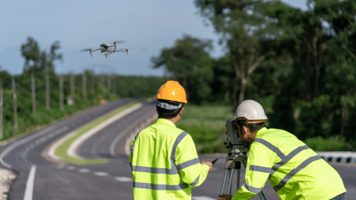
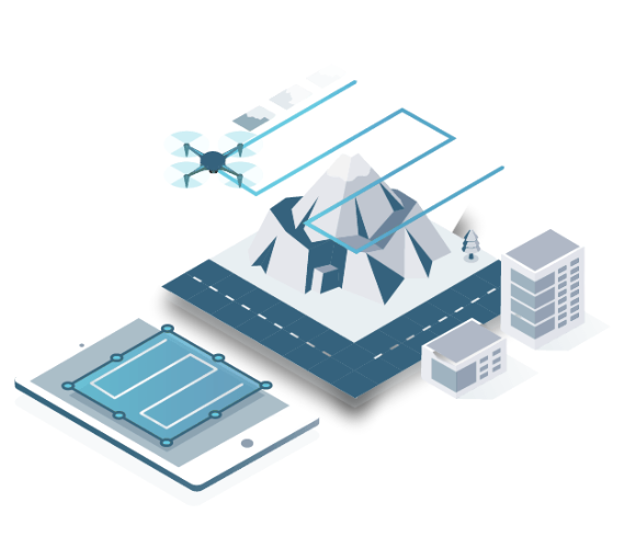
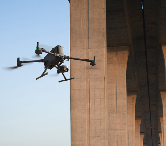
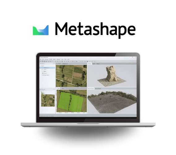
Professional drones designed for photogrammetry and mapping are revolutionizing surveying, land surveying, and geospatial analysis methods. Thanks to high-resolution sensors, advanced positioning systems (RTK, PPK), and powerful processing software, they enable the rapid production of high-precision 3D models, orthophotos, and maps. Find answers to frequently asked questions about selecting, using, and applying professional mapping drones.
